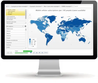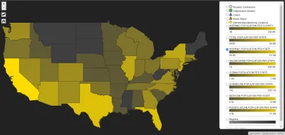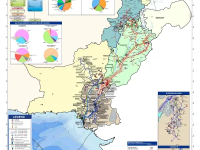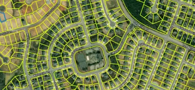


Geographic Information Systems(GIS)
A Geographic Information System (GIS) is a tool that captures, stores, analyzes, and displays spatial data. It helps visualize and understand geographic patterns and relationships.